Low Traffic Neighbourhoods, often abbreviated to LTNs, are a method of retrofitting low-traffic designs onto existing neighbourhoods. Many newer neighbourhoods are already LTNs by design, even if we don’t use that term to describe them. All it really means is a neighbourhood has few roads available for cut-through traffic.
The number of through-roads in an area often reflects the time in which it was developed. Older areas allow full permeability of cars on any route, because the dangers posed by cars wasn’t well understood. Areas built more recently make extensive use of cul-de-sacs (which are low-traffic by design), because the dangers are now well understood. We now have knowledge that original designers didn’t.
Before cars were commonplace, it wasn’t necessary to design defensively. Modern road systems are designed with the knowledge that cars passing residential homes can be damaging for the health and wellbeing of occupants.
While retrofitting is a common practice to bring older systems up to date, for some reason we’re reluctant to change our transport systems. LTNs using planters are a retrofit system that we should be embracing, so we can all enjoy the benefits of reduced traffic.
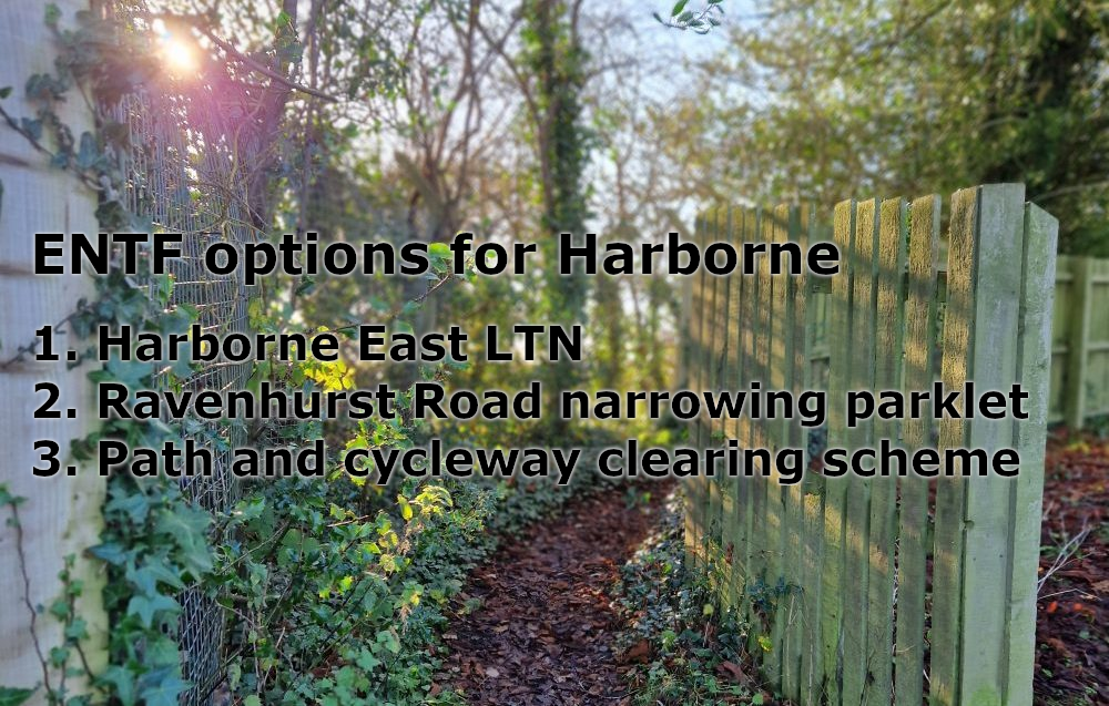
Area review
In this post, we’re going to review the development of different areas of Harborne and Quinton to see how they stack up, roughly in chronological order.
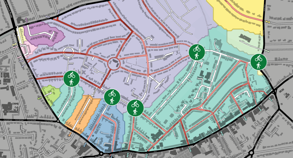
Thanks to a new tool, we can now see these existing LTNs, as well as highlight areas that would benefit from retrofitted measures.
https://www.lowtrafficneighbourhoods.org/map/modalfilters,ltns/#15.67/52.4617/-1.957324
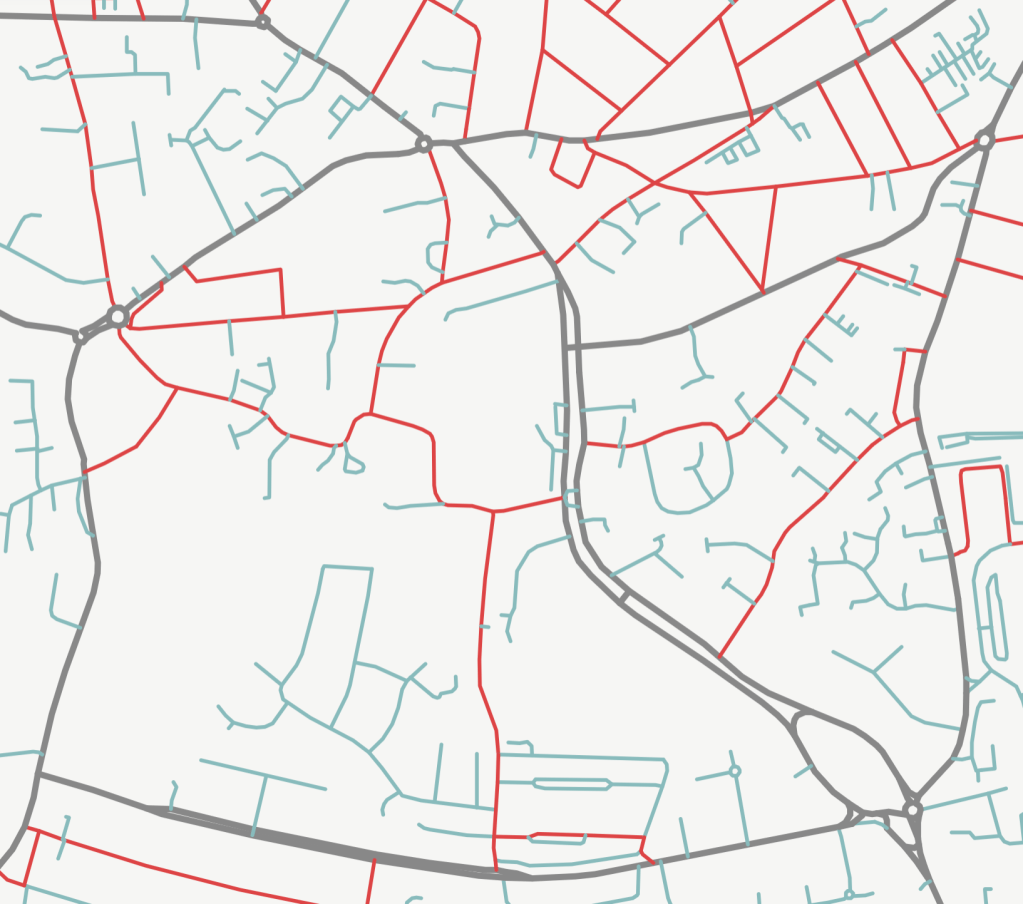
In each map, the red roads allow through-traffic, and anything in teal is a cul-de-sac or LTN-style road.
Harborne East
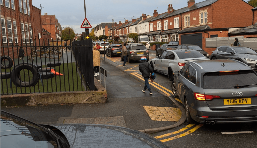
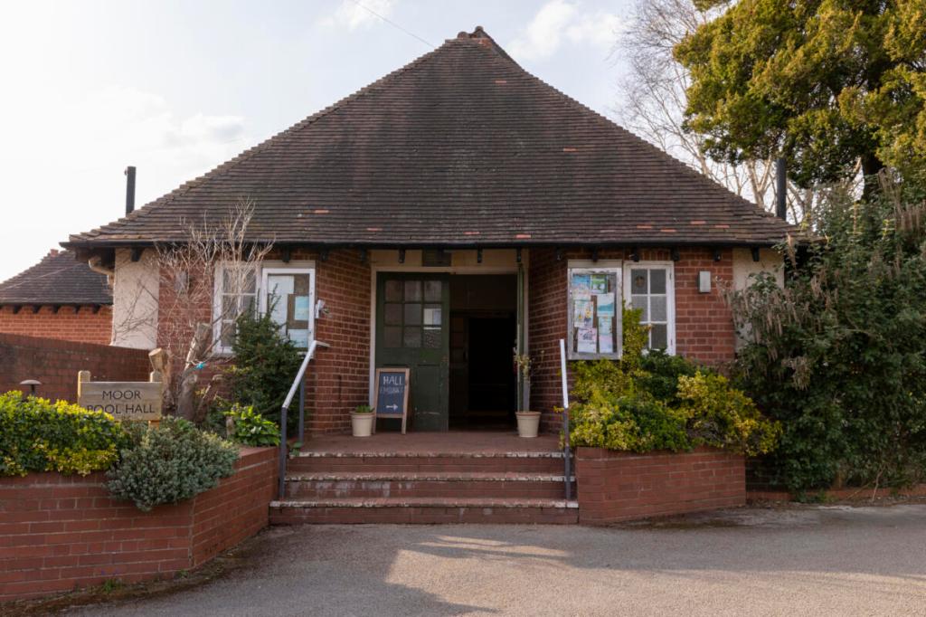
Harborne East, which includes the Moor Pool estate (1907) and the terrace houses of Gordon Road (1900-1929), Park Hill Road (1900-1940) were built at a time before motor cars were common, or the dangers were understood. These roads are fully open to car traffic and experience frequent rat-running. However, the narrowness of these roads leads to extensive jams, resulting in increased exhaust pollution.
This map reveals that many (most?) roads in this older area of Harborne allow cut-through traffic..

Quinton Ridgacre North and South
Much of the Quinton Ridgeacre estate was developed in the 1930s and 1940s. This was an era of rapid car adoption, and estates were built to match. Long sweeping roads that helped then new car owners cruise to town are now the roads we know as high speed raceways in residential areas. Cut-through permeability is high and the broad roads are especially dangerous.
Cars come off the dual carriageways at high speed and the residential roads allow them to cut through.

The Quinton roads in this map that look like tighter cul-de-sacs are later developments, from 1960 onwards. From the 1970s onwards, we start to get routes in the south with no cut-through traffic. You can see how road layout changes the further south in Quinton you go.

Harborne West and Metchley
Both these areas have a side-by-side mixing of historical and modern development, and similarly a disparity in how they are affected by traffic.
The older streets from 1900-1930 are often terraced houses and are almost all fully open at both ends. This leaves them prone to cut-through traffic.
Newer developments, which make up the bulk of these areas, reveal the lessons learnt from estate planners, that low-traffic developments are preferable in the age of the car.
The area around Seven Tree Forest, built 1967-1975, is largely car-free with the exception of a few routes crossing. Notably, these routes are designed with curves to slow down the traffic navigating the estate. The south of the Metchley is even more cul-de-sac oriented.
There are also much newer developments, like one in Harborne West developed in 2017, that is an exclusively low-traffic neighbourhood, with no through-traffic at all.

Welsh House Farm
The Welsh House Farm estate, for which plans were approved in 1962 and construction completed in 1965, was built during the period of peak UK road deaths. The danger presented by cars and the subsequent need to protect homes from traffic was well understood. This development already functions as an LTN in everything but name. Despite the roads in this area being safer by design, as with many areas it was built for cars first, meaning the lack of safe cycle routes to major employment centres will make increasing active travel uptake challenging. Also, the original designers may not have anticipated the increasing size or number of cars, which still results in blocked roads and pavement parking.